Leah Fulton
Research Projects
I am an interdisciplinary thinker and problem-solver, and center my research on the use of participatory and community engaged research in regional, rural, or remote, coastal economies. My research program falls within the intersections of critical cartography, decolonial mapping, planning, and GIS. Through partnerships with non-profit organizations, and community groups, my research stays grounded and comes from bottom-up insights and co-developed methodologies.
Examples how my research has had policy impact can be viewed here.
Awarded Funding
University of Victoria, SSHRC Doctoral Fellowship (2024-2028)
University of Victoria, President's Research Scholarship (2024-2028)
University of Victoria, MITACS Accelerate Award (2025-2026)
Dalhousie University, The Millennium Prize for Interdisciplinarian of the Year (2022)
Winner - Esri 2021 ArcGIS StoryMap Challenge for Restoring our Oceans
Dalhousie University, Douglas M. Johnston MASC Scholarship in Marine Affairs (2020)
2023-2028
PhD Dissertation
My research draws on critical cartography, political ecology, and relational geography, to explore how decolonial cartographies in community-engaged decision-making can support rural, regional, and remote, coastal economies.
2026
Threading Systems Thinking into Cartographic Practice
This work is the outcome of my PhD candidacy exams. The exercise was a reflexive and embodied practice to better understand how cartography weaves multiple knowledge cultures, and how advancements in visualization might allow us to encounter these relations. This exercise was filmed and submitted to the SSHRC Storytellers competition for 2026.

2025
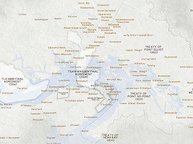
Treaty Relations of the Salish Sea
Invited by Associate University Librarian, Reconciliation Ry Morran (also the founding director of the National Centre for Truth and Reconciliation) to contribute to a large, highly visible public installation, we were challenged to go beyond land acknowledgements; to evoke the geography of treaty relations of the lək̓ʷəŋən peoples on whose traditional territory the university stands in broader context of the varied treaty relations of the larger region the university operates in.
2025
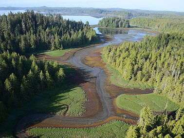
Enhancing data access through geovisualization using aerial imagery of coastal habitats
Working closely with SeaChange Marine Conservation Society, the ShoreZone program, this project seeks to adopt a human-centred approach for data access for non-technical users. This need was identified by SeaChange, driven by their commitment to enhancing biophysical and ecological data democracy in transboundary coastal environments.

2023
Mapping Atlantic Coastal
Island Ecosystems for
Coastal Management
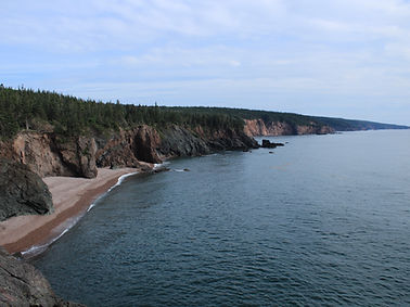
Islands are important components of many coastal areas around the world; however, by virtue of their geographical isolation, the state of these ecosystems is often poorly known. To address the knowledge gap for the province of Nova Scotia, Canada, geographic information systems (GIS), remote sensing (RS), and machine learning (ML) were used to examine the status of nearly 4000 islands.
2023
Ocean Frontier Institute (OFI) Benthic Ecosystem Mapping and Engagement (BEcoME) Project
I worked as a Graduate Research Associate on Work Package 1.1 of the OFI BEcoME Project, focusing on engagement for co-design of benthic ecosystem mapping. This work package aims to co-produce a knowledge management and analytical framework that facilitates the effective use of different kinds of knowledge to inform management and policy decisions.
2022
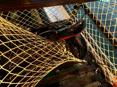
Acoustic Detection of Abandoned, Lost, and Discarded Fishing Gear (ALDFG)
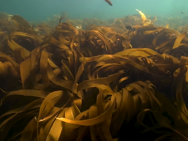
Abandoned, lost, and discarded fishing gear (ALDFG), also known as ghost gear, is commonly found in our oceans and negatively impacts marine environments and industries. At Dalhousie University, my master's research explored how side scan sonar can be used as a gear detection method, to validate source and sink of lost gear, and type of bottom habitats.
2020
Old Growth Forest Connectivity and Landscape Fragmentation
During the 40th Conference of New England Governors and Eastern Canadian Premiers, Resolution 40-3 was passed, recognizing the significance of the Appalachian-Acadian forest. The resolution contributes to acknowledging the importance of the forest on local and global scales.


2020
Measuring a Housing and Transportation Affordability Index
At Dalhousie University, my undergraduate honours research involved working with Halifax Transit to understand the cost of living for those travelling by transit or by car within the Halifax Regional Municipality, and to identify transit deserts using GIS.
2020
The Grocery Gap:
Food Resource Accessibility in the Halifax Regional Municipality
In Canada, Nova Scotia ranks among the highest in household food insecurity, second only to the Territories. At Dalhousie University, my undergraduate research project, completed for my certificate in Geographic Information Systems (GIS), aimed to better understand spatial inequalities in access to food resources. This research involved using network analysis to develop a food access index model weighted by food resource type.
